A city-wide initiative to monitor air quality in Liverpool began this week.
The week-long traffic monitoring exercise will feature 40 cameras counting the amount of traffic, the type of vehicles and engine types on major routes by using automatic number recognition technology.
In 2018, it was revealed by the World Health Organisation that Liverpool is one of the most polluted cities in the UK. The data showed that 31 areas in the UK had fine air pollution levels above 10 micrograms per cubic metre.
This pollution is known to cause severe health issues because it penetrates deep into the lungs and cardiovascular system. Prolonged exposure can trigger serious diseases such as strokes, heart disease, lung cancer and respiratory infections, according to the WHO.
The city is only obliged legally to ensure it meets UK and European Nitrogen Dioxide pollution levels by 2020. However, the Liverpool City Council insists that it wants to do more to reduce air pollution levels as soon as possible.
YouTube: Rebecca Thomas
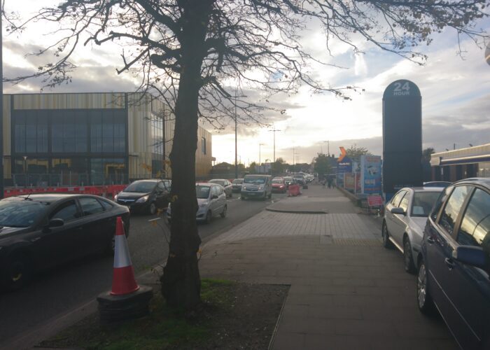
A council spokesperson told JMU Journalism: “We have cameras looking at which areas are a hot-spot for harmful gases. Busier areas like the Strand have higher levels due to the amount of traffic travelling through it each day, so we’re looking at ways we can reduce the air pollution in places like this.
“Things like traffic control, where we can, are our focus, as this is causing the most problems in regards to air pollution.”
The latest science suggests that in a city the size of Liverpool, exposure to poor quality air contributes to around 230 deaths each year, according to council figures.
The routes for the air quality exercise will be placed on Derby Road, County Road, Walton Hall Avenue, Utting Avenue, Townsend Avenue, Muirhead Avenue, Prescot Road, Allerton Road, Aigburth Road, Vauxhall Road, Scotland Road, Menlove Avenue, Speke Road, West Derby Road, Dale Street, the Strand, Lime Street and the Queensway Tunnel entrance.

